The Grand Teton
Earlier this summer, one of my coworkers mentioned that he
wanted to climb the Grand Teton . Well, that got the whole office talking and
it turns out that several of us had desires to climb the Grand as well. After some in office discussion, we decided
that the expedition would include my boss Eric, his wife Amy, my coworker
Brandon, me, and my wife Amy. We talked
it over, looked into some of the logistical issues, and decided that we would
give it a go via the Owen Spalding route on the 12th and 13th
of August (we had to go Owen Spalding because Brandon doesn’t climb). Our main concern was getting a permit due to
the fact that all of the permits that can be reserved in advance were already
gone, but they do save about half of their permits to give out the day before
your climb on a first come first serve basis.
Since Brandon
is single and doesn’t have any kids we decided to give him the task of heading
up a day early to pick up a permit for us.
Well, as the time for our ascent drew closer, all of the
office talk seemed to revolve around our trip up the Grand
Teton . We were constantly
researching the route, the best camping spots, reading trip reports, and just
generally familiarizing ourselves with the Grand Teton . Our initial plan of who would be going also
changed a bit when my wife Amy decided that she wasn’t in good enough shape to
do the route since she recently had a baby, and one of my other coworkers Nate
decided that he wanted to go. The week
before we were heading up we made all our final plans, divvied up the communal
gear, and watched lots of youtube videos to get us psyched up for the climb.
Sunday morning I got a text from Brandon letting me know that he had picked up
a permit for the Moraines camping area, so we were on for the next day. Monday morning arrived much too quickly when
Nate came by my house to pick me up at 5:45 so that we could drive up to Logan
to meet up with Eric and Amy and then carpool from there. The drive to Jackson WY was uneventful and we arrived
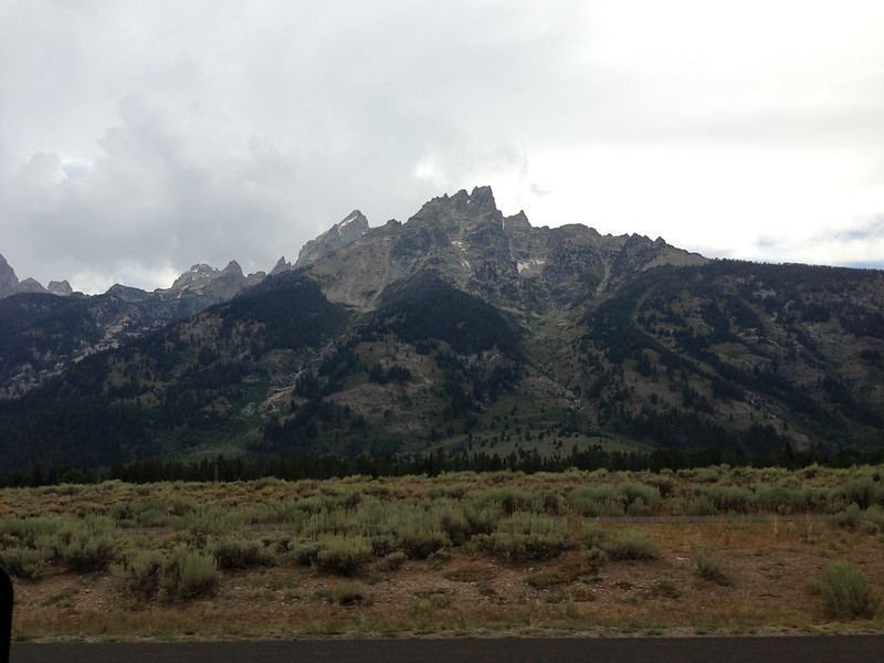
an hour before we had anticipated, getting in at about 10:00 AM. As we were pulling into Jackson we got our first view of the Grand
and I must say that it looks pretty daunting, I think we were all questioning
our sanity when we saw it. We decided to
grab some food for lunch before meeting up with Brandon
and heading to the trailhead (Brandon
already had picked up a lunch). Eric and
Amy recommended a sub shop called New
York subs which ended up being perfect for our
pre-hike meal. After the sub-shop we
headed to the parking structure where Brandon
was leaving his car, ditched all the stuff we weren’t taking with us, and
continued on our way to the trailhead.
Once we arrived at the trailhead, there were a number of
tasks that needed to be completed. First
off, we unloaded all of our gear as close to the trailhead as possible to limit
the amount of hiking we’d have to do with the gear, we waited around for a bit
trying to get a parking space that would be relatively close to the trail head,
but unfortunately, no one was leaving so Eric ended up parking like a half mile
away from the trail head and running back to meet us, we each took turns using
the lovely outhouse accommodations since it would be the last time we could
before having to use a wag-bag, and we got ready to start hiking.
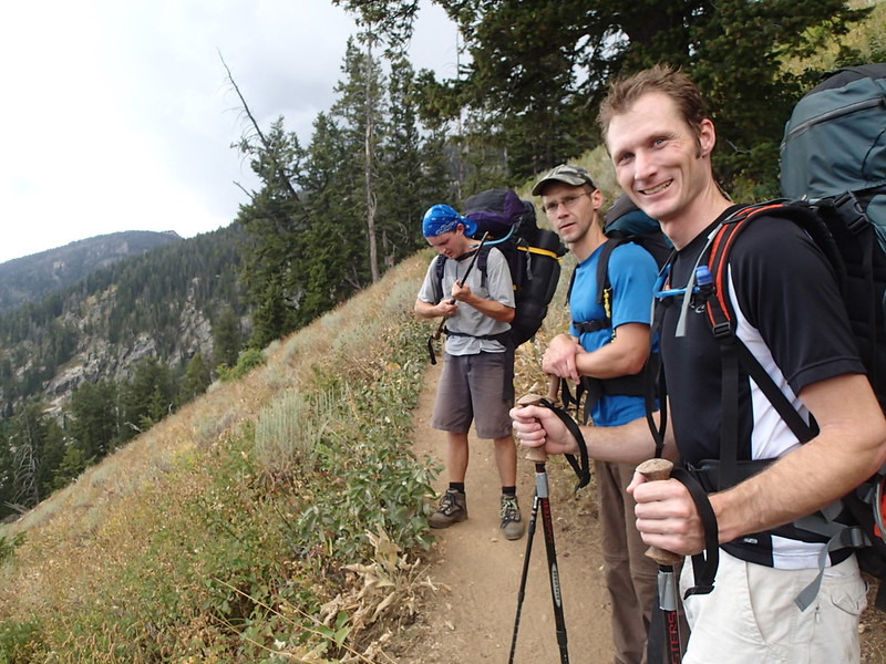
Hiking up the Trail
As we got ready, the afternoon thunderstorm rolled in and it
started lightly raining on us. Now, of
course we had been watching the weather as the trip approached, but up until
Sunday afternoon, everything kept saying that it would be beautiful weather
with no chance of rain or thunderstorms, but then Sunday afternoon, all of the
sudden the forecast changed to having afternoon thunderstorms on both Monday
and Tuesday. One of the biggest risks
associated with climbing the Grand is lightning, so we were certainly concerned
about the thunderstorms. Fortunately,
according to the forecast, the thunderstorms were only supposed to go from noon
to about four, so we figured that they would be finished by the time we got up
to our camp, then we could be back down
to our camp before they started on the following day.
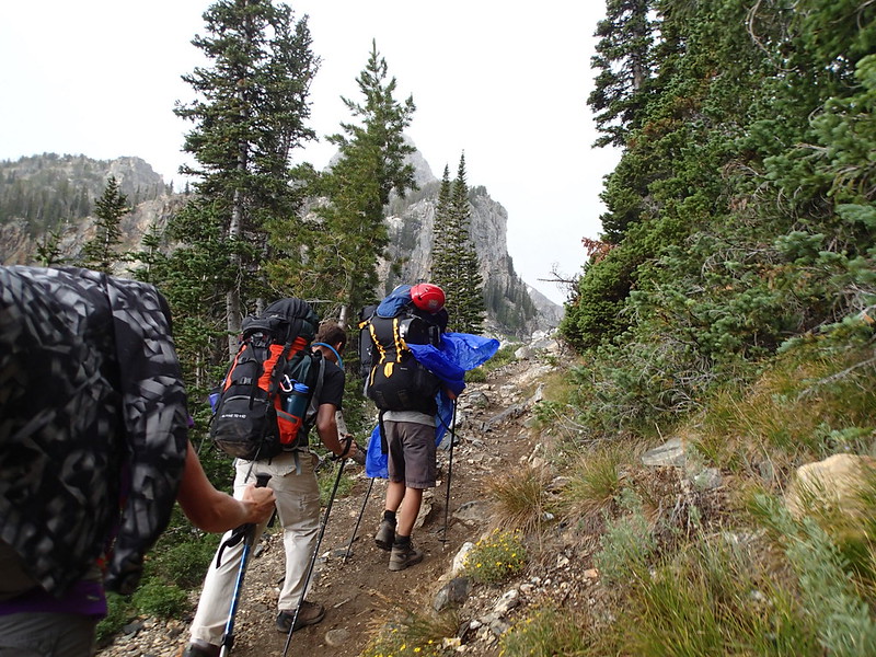
Getting into Gannet Canyon
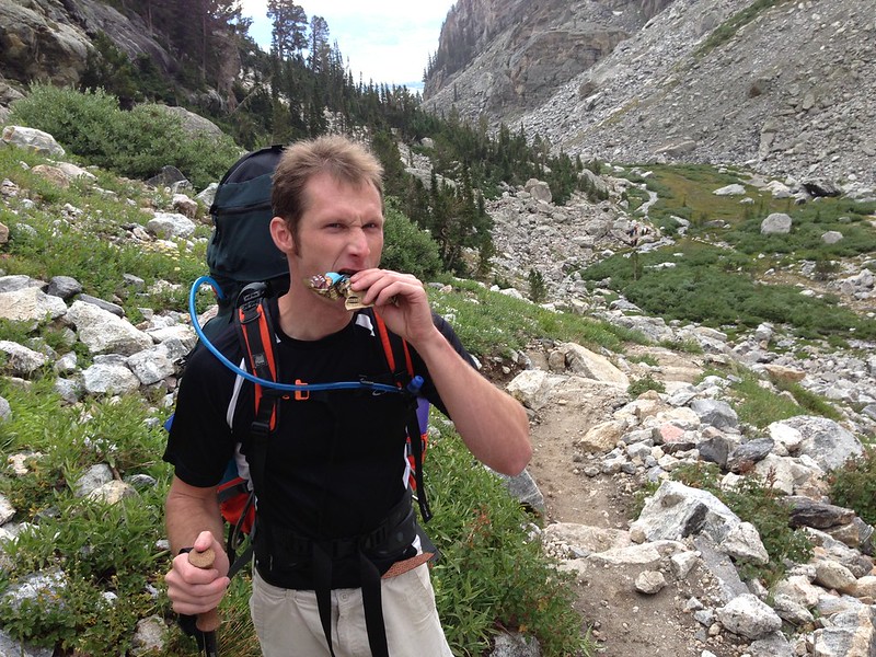
Snack Time
It turned out that the thunderstorms were great, it lightly
sprinkled on us until just before we arrived at our camp, but it never really
rained on us enough to get us wet, it just kept us cool while hiking. The hike was uneventful with the exception of
Nate not feeling well the whole time.
Nate ended up feeling sick the whole time up the mountain, I don’t know
if it was altitude sickness or just some bug that he had picked up, but he
really wasn’t looking good as we hiked up.
Luckily for the rest of us though, Nate not feeling good helped keep us
from hiking too fast so it ended up being a really easy hike. In reality, the hike is pretty mellow all the
way up to Lupine Meadows, and then it gets steep between the Meadows and the
Moraines where we camped. We made pretty
good time up to the Meadows even with Nate feeling sick, but then we ended up
taking a lot of time to get to camp arriving there at around 6:00 PM.
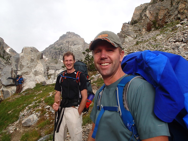
Getting closer to Camp
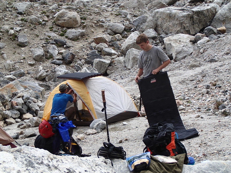
Setting up Camp
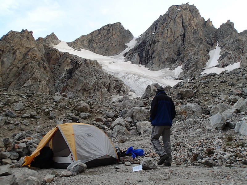
Our Beautiful Campsite right below the Middle Teton
As we were hiking from the Meadows to the Moraines, we ran
into a ranger who was on his way down.
He asked us what our plans were so we told him that we planned on
climbing the Owen Spaulding route the next day.
He told us that the storm was a lot worse up at the top of the mountain,
and that the Owen Spalding route was now covered in snow and ice and that it
would be full winter conditions in the morning when we were going to attempt
it. We got worried at that point, but we
figured that we’d hiked all that way, so we might as well attempt to summit
anyway.
That night after arriving at our camp (which was great by
the way), we set up, made dinners, refilled our water (from water running right
down the Middle Teton Glacier), then we decided that we should practice our
roped climbing techniques for the next day.
Since the climbing on the Owen Spalding is so easy (5.4) we decided that
we would just simul-climb with about 20 feet of rope between each of us. We each tied in like we would be the next day
on the technical portions of the climbs, then we just kind of walked up a
boulder filed as I placed some pro so that everyone could see the method. After our practice we all got in our tents
and went to bed since we were planning on waking up at 3:30 AM so that we could
be off the mountain well before any storms arrived.
Our alarms went off at 3:30 the next morning, so we got up,
boiled some water to make oatmeal for breakfast, and started hiking toward the
Lower Saddle at 4:10. Before we had
gotten more than a quarter of a mile, Nate told us all that he still wasn’t
feeling well, so he decided to head back to camp and forego the summit
attempt. We were all a little bit
disappointed, but at the same time we were glad that we’d be able to move
faster so that we could be sure to be off the mountain early. The hike to the Lower Saddle wasn’t too bad,
but we did loose the trail a couple of times because it was still dark
out. There is one technical portion
between the Moraines and the Lower Saddle where you have to climb a cliff band
that’s maybe 100 feet tall, but there are fixed lines through that portion and
it’s low enough angled that it’s not a big deal. We arrived at the Lower Saddle and I went
off to search for the water supply since it is the last point where you can get
water on the mountain. We filled up our
water, Eric handed the pack off to Brandon
(we were all going to take turns with the pack), and we continued on our way up
to the Upper Saddle.
The portion of the hike between the Lower and Upper Saddles
was what we were most worried about because we had read a bunch of trip reports
that said it is really easy to get lost and waste a lot of time trying to find
the route to the Upper Saddle. We had of
course studied where we needed to go, memorized all the landmarks, and watched
videos of it, but it’s obviously a bit different when you’re trying to do it at
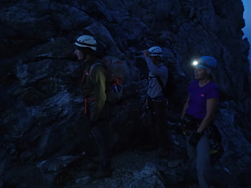
4:45 in the morning when it’s still pitch black.
Luckily for us we didn’t have any problems with this portion
at all. We easily found our way to The
Needle and made our way around the left side of it, Brandon stopped for a rest right at the base
of the Chockstone Chimney without even realizing it, so when Eric and I saw it
we were like hey, there’s the Chockstone Chimney where we need to head up. At the top of the Chockstone Chimney we
quickly were able to find the Eye of the Needle
and the Belly-Roll Almost, then I took the pack from Brandon and it was
just a quick easy jaunt up to the Upper Saddle (well maybe not easy, but at
least problem free). We ended up getting
to the Upper Saddle right as it was getting light enough for us to turn off our
headlamps which was perfect since this is where we needed to rope up for the
technical portion of the climb.
One funny side note is that just a bit before arriving at
the Upper Saddle we saw a guided group a little bit ahead of us, so we were
like okay, let’s hurry and pass this group so that we don’t get stuck behind
them since the Owen Spalding route is the most popular route on the
mountain. We caught up to them and as we
were passing them we talked for a moment and found out that they had camped at
the Upper Saddle and started hiking at 4:00, so we had started hiking ten
minutes after them from over 1000 vertical feet below them and were still
passing them prior to reaching the Upper Saddle. Needless to say, there was no reason for us
to hurry to pass them since we made it to the Upper Saddle well ahead of them.
Getting ready to gear up on the Upper Sadle
Now that we were at the Upper Saddle, we roped up and began
the technical portion of the climb. Once
again, this portion went extremely smoothly and we didn’t have any
problems. I lead through the Belly Roll
and the Crawl where I belayed everyone over to the Double Chimney. I have to say that both of those two portions
of the climb are way over hyped. They
are really no more than a third class scramble and were shorter than I thought
they would be. Once everyone reached the
base of the Double Chimney I again lead up it and then belayed everyone up from
the top. I did choose to take the right
hand side of the Double Chimney since it looked a bit harder, but it was still
quite easy. Through the Double Chimney
there was some snow and Ice, but it was nothing like the ranger had made it
sound like it would be the day before.
Even so, we decided that we would take the Owens Chimney up from there
rather than taking the Cat Walk since the Cat Walk is notorious for having ice
on it. Again, I lead up the Owens
chimney, belayed everyone to the top, then we traversed over to Sergeant’s
Chimney, lather rinse and repeat, then we unroped and left the rope at the top of
Sergeant’s Chimney for the rappel off.
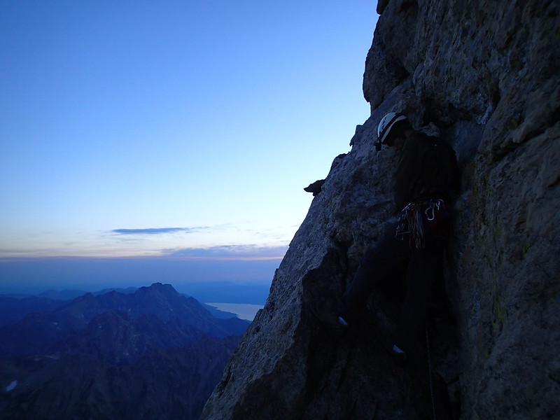
Starting the Belly Roll
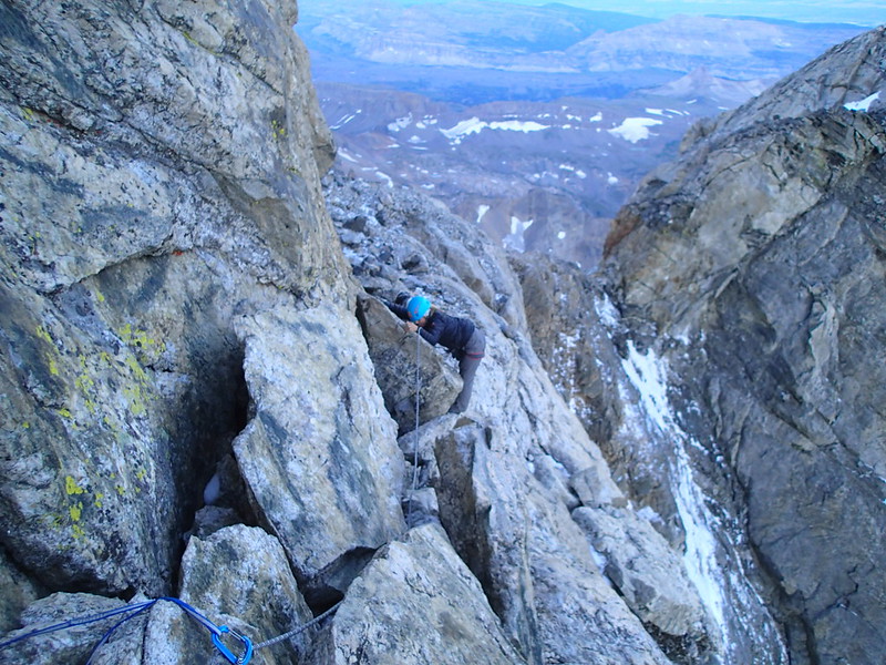
Amy on the Belly Roll
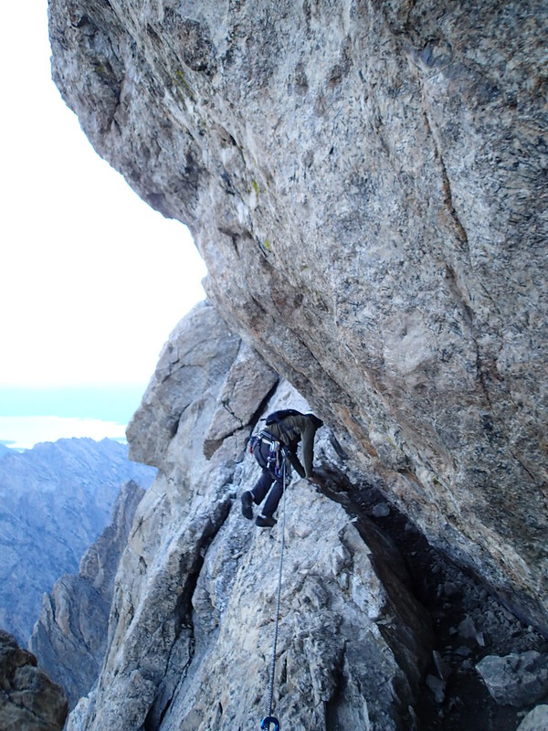
Walking past "The Crawl"
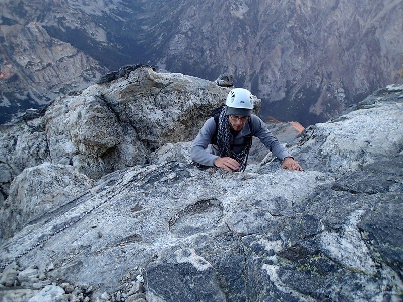
Brandon finishing up Owens Chimney
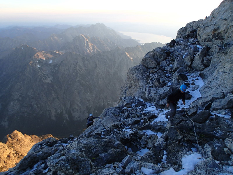
Making our way over to the Double Chimney
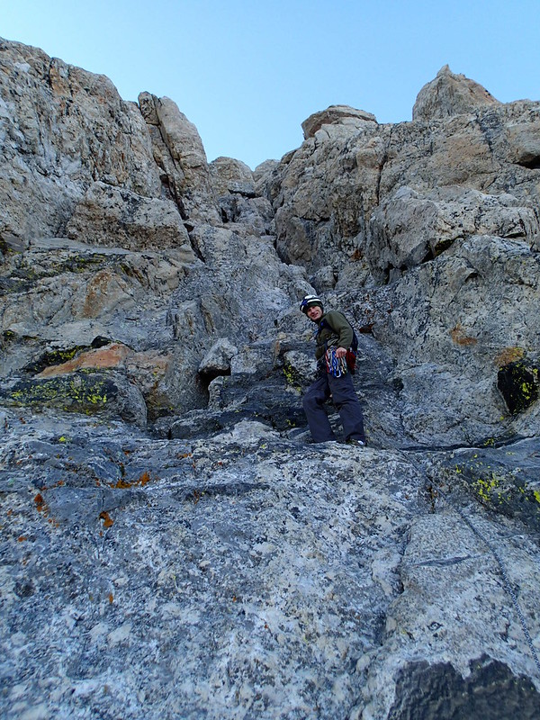
Starting up the Double Chimney
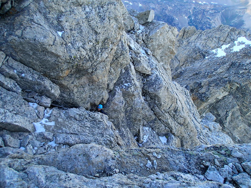
Amy coming up the Double Chimney
From the top of Sergeant’s Chimney it wasn’t really
technical, but there were some pretty cool portions. We just had to scramble around a little bit
until we reached this awesome knife edge ridge that we had to traverse across,
then from there it was just a little bit of scrambling and boulder hopping to
get to the summit. We arrived on the
summit of the Grand Teton at 7:20 AM (which
was quite a bit earlier than we though we would). We spent a little bit of time up there taking
pictures, I called Amy to let her know that we had arrived, and then we decided
that we should head down so that we could try to drive home that night.
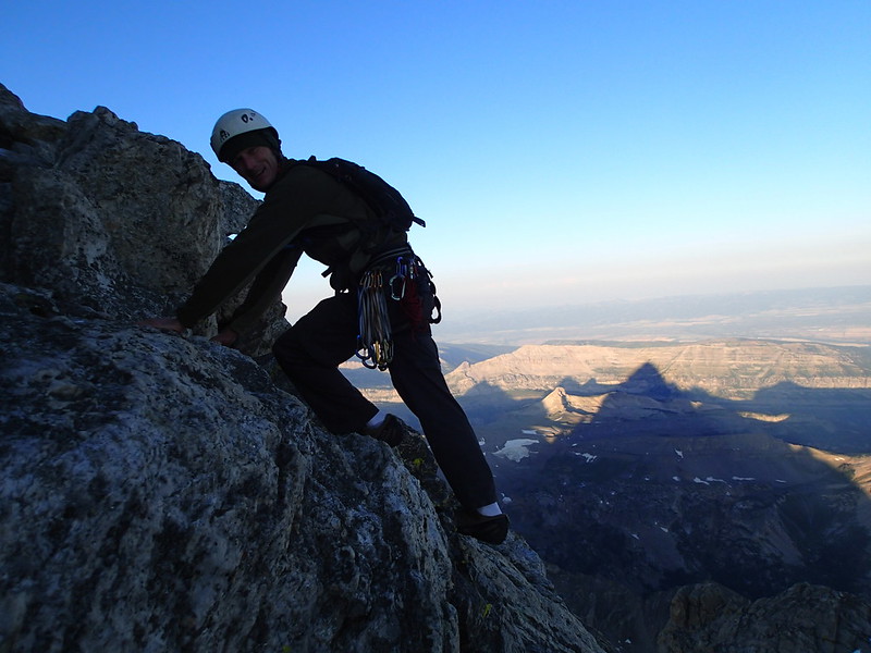
Through the Technical and making our way towards the Summit
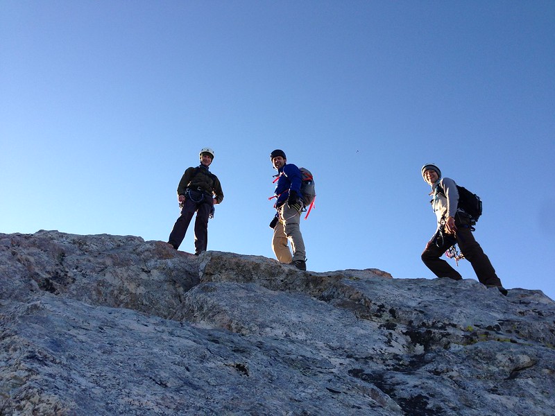
Getting Closer
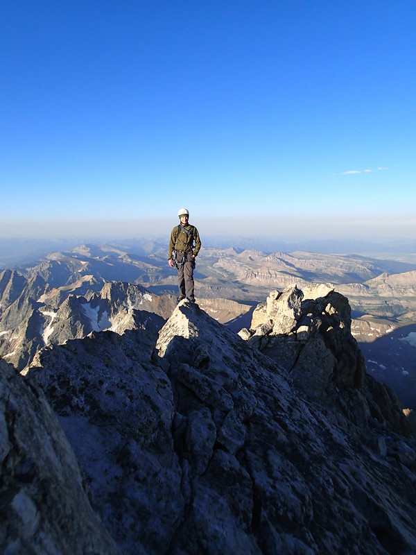
Walking across the awesome knife edge ridge.
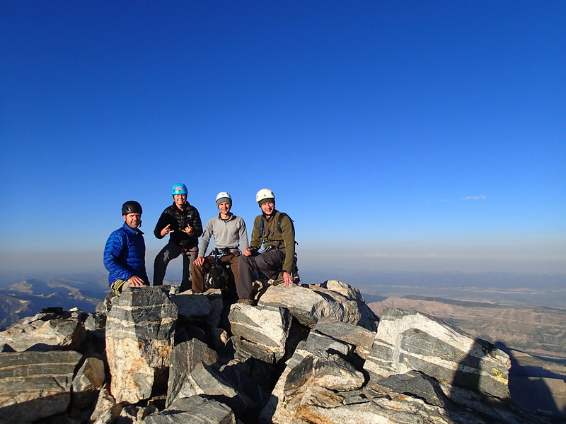
We made it!
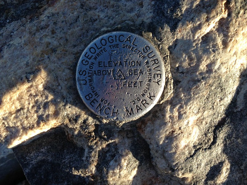
Summit Marker Proof
Because it was so early we decided that we would also hike
up to The Enclosure as well. The
Enclosure is the only other summit in the Teton range above 13,000 feet and is
located just to the south of the Upper Saddle, whereas the Grand
Teton is just to the north of the Upper Saddle. We hiked back down to the top of Sergeant’s
Chimney, and then rappelled off. We then
walked over to the top of the main rappel, but there were guides on all of the
rap stations except for the bolted station.
I wanted to rap of the bolted station, but on the bolts were tags saying
that it was 40 meters to the bottom, and my rope was only a 70 meter rope. I thought I had read that a 70 meter rope
would make it all the way down, but I didn’t want to end up short and none of
the guides knew if a 70 would make it.
Luckily, one of the guides offered to untie the rope from the anchors
and toss it down to us if we wanted to just do a single rope rap, so we decided
to take that option. I rapped off first
and when I got down the middle mark of the rope was on the ground without any
rope stretch, so a 70 meter rope is just fine.
Everyone else rapped off then we hiked over to the enclosure.
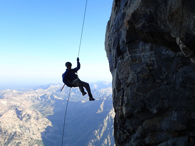
Eric Making the Final Rap
The enclosure is pretty cool because at the top of it there
is a circular ring or rocks that no one is really sure how they got there. The main hypothesis is that it was a Native
American built structure that was used as a kind of rite of passage. They think that the Native American boys had
to climb up to the top of The Enclosure before they were considered men.
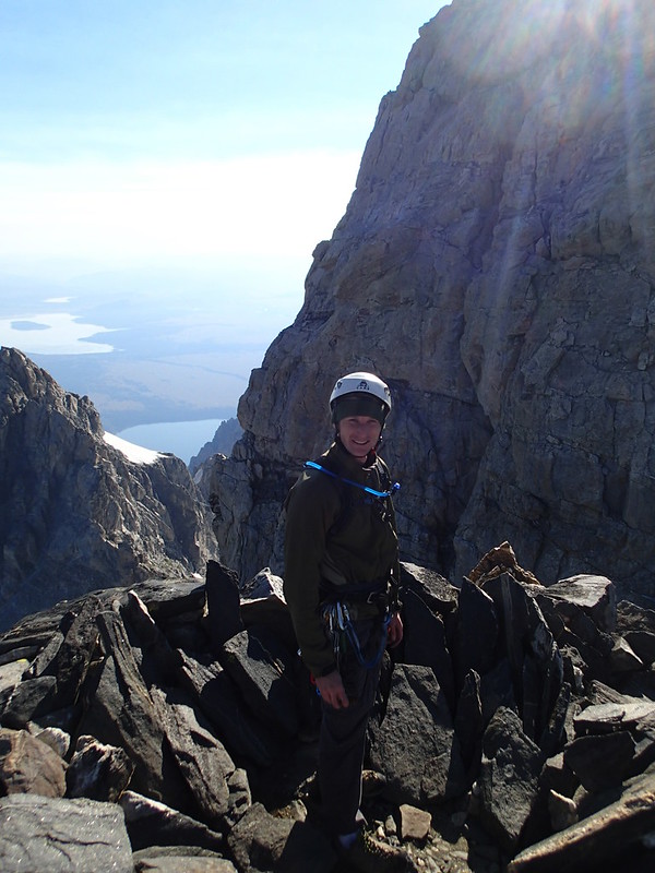
Standing in The Enclosure
After hiking to the enclosure we hiked back down to
camp. Now going back to that guided
group we passed just before arriving at the Upper Saddle on the way up the
mountain. On our way down the mountain
we ran into the same group again just after passing The Needle. Again we just made a bit of small talk as we
passed them and asked them what they had done and how everything went. It turns out that they only hiked up The
Enclosure and were headed back down. It
was just kind of funny to me (and maybe I’m a horrible person because of it),
but I couldn’t help but laugh at the fact that they had started earlier than us
from much higher than us, yet they only did The Enclosure when we were able to
do both the Grand and the Enclosure and still beat them back to their camp. After passing them we continued on our way
down to our camp.
When we arrived at camp Nate Jackson , but we had to find Nate first. We decided to take down camp and pack
everything up so that we would be ready to go, but we were a bit worried that
Nate had hiked up to the Lower Saddle so that he could meet us there and hike
back down to camp with us, but that we had missed him when we hiked down. Once camp was all packed up, Nate was still
nowhere to be found, but we decided to check and see if he his daypack and
water was still in camp. We did end up
finding his daypack and water, so we decided that he must be somewhere close
because he wouldn’t go too far without those items. Eric went looking for Nate, and found him
pretty quickly just over a ridge from where our camp was, so we could head back
down.
The hike down was pretty quick and easy. We were a bit worried about how Eric’s wife
Amy would do on the hike out since she has a bad knee, but she did great and we
made it down quickly. As we got near the
bottom of the mountain, once again the thunderclouds rolled in and we got
sprinkled on, but the cloud cover and the light rain made for a very enjoyable
hike back. Once we got back to the
parking area, I was the first one to arrive, so I got to hike the extra half
mile to go pick up the jeep and bring it back to pick everyone else up. We all loaded up into the jeep, headed into Jackson for dinner at
Wendy’s then split up and drove home. What
a great trip it was, I can’t wait to go back and do the Complete Exum sometime
now.
No comments:
Post a Comment